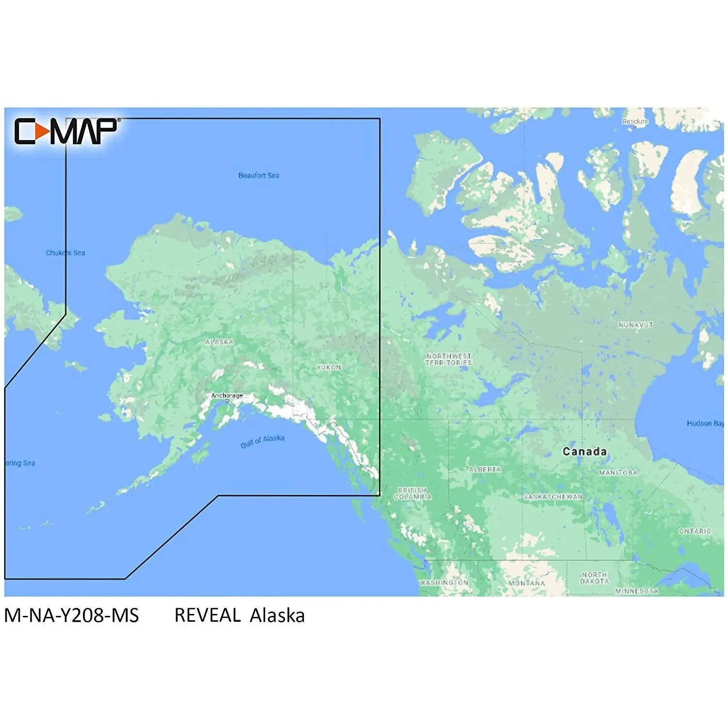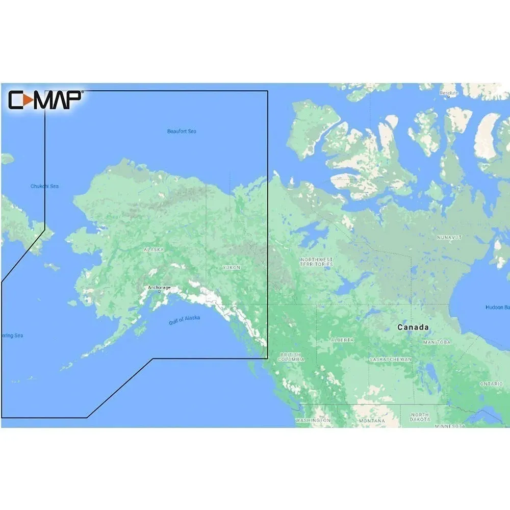
C-MAP Reveal Coastal - Alaska
ADVERTISEMENT
Product Details
Satellite Overlay – satellite imagery gives information about the surroundings when you find yourself in an unfamiliar place.||Dynamic Raster Charts – providing the traditional chart look and feel, coupled with easy access to all objects on the chart.||Custom Depth Shading – set a clear safety depth, maintain a paper-like view or create your own custom shading.||Easy Routing – helps you automatically plot the shortest, safest route based on detailed chart data and your personalized vessel information.||Tides & Currents – shows projections of water level and direction of tides to help plan your day out, cruising, angling or sailing.||Satellite Overlay – satellite imagery gives information about the surroundings when you find yourself in an unfamiliar place.||Dynamic Raster Charts – providing the traditional chart look and feel, coupled with easy access to all objects on the chart.||Custom Depth Shading – set a clear safety depth, maintain a paper-like view or create your own custom shading.||Easy Routing – helps you automatically plot the shortest, safest route based on detailed chart data and your personalized vessel information.||Tides & Currents – shows projections of water level and direction of tides to help plan your day out, cruising, angling or sailing.||Online Updates – keep your chart up to date, with 12 months’ free online updates.

